


By Sidarta
Bovec Trenta map - excursion
€9.90
Tax included.
Shipping calculated at checkout.
Bovec Trenta map - excursion
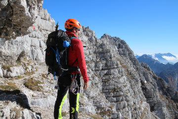
The map, which is printed double-sided, covers the areas of the Bovec Basin and Trenta with the surrounding mountains and the Viša and Montaža groups in the Western Julian Alps.
The map content consists of:
- marked mountain trails, categorized as easy, challenging and very challenging,
- marked walking trails,
- marked hiking trails,
- cycling routes with added elevation diagrams,
- entry and exit points for kayakers and rafters. A sketch of the Soča River with all difficulty levels and distances has also been added.
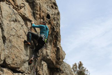
- climbing areas,
- paragliding take-off areas,
- downhill skiing
- pastures where you can buy dairy products are marked,
Additional map contents: natural and cultural attractions, outline of the Isonzo front of the Austro-Hungarian and Italian lines, open-air museums, viewpoints, campsites, ...
Two coordinate grids are intended for users of satellite navigation (GPS), rectangular with the Gauss-Krüger projection and geographic (WGS84).
Characteristics:
- Folded map size 12.50 x 22.70 cm
- The map is enclosed in a plastic protective folder.
- Scale: 1:25,000