


Map of Kranjska Gora
Map of Kranjska Gora
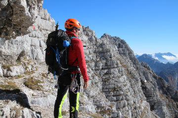
Jalovec - Pec - Mojstrana - Triglav
1:25,000
1:25,000, excursion map
– the map covers the area of the Upper Sava Valley – “everything from Mojstrana onwards”. The westernmost peak on the map is Mangart, the northern edge of the map runs along the Karavanke ridge between Pečja (Tromeja) and Kepa, the eastern edge in the Kepa-Mojstrana-Debela peč line and the southern edge is closed by Viševnik-Kanjavec-Trenta.
Map content:
– marked mountain trails, categorized as easy, challenging and very challenging,
– walking and hiking trails,
– cycle paths,
– Via Alpina, Alpe-Adria and Juliana trail hiking trails,
– ski touring routes,
– natural and cultural attractions, via ferratas, downhill cycling routes…
Two coordinate grids are intended for users of satellite navigation (GPS), rectangular with the Gauss-Krüger projection and geographic (WGS84).
On the back, marked cycling routes are described. Each description is accompanied by an elevation diagram. The table lists walking routes with indications of length, time and difficulty.